
The Mapping & Geographic Information Systems (GIS) section provides cartographic services, GIS/GPS training and technical support, spatial modeling, analysis, and geographic data development. The section supports a wide range of DWR’s core functions, contributing map products and services throughout the agency. In addition, GIS staff maintains internet mapping services for the public and provide data to other governmental and non-governmental organizations.
Environmental Review:
- The Virginia Fish and Wildlife Information Service (VAFWIS)
- The Wildlife Environmental Review Map Service (WERMS)
Outdoor Recreation:
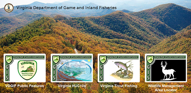
- Find Wildlife: DWR’s online interactive mapping website, comprised of Hunting, Fishing, Wildlife Viewing, and Boating Access Locations and Information.
- ArcGIS Online Interactive GIS Maps